
Elmendorf topographic map
Interactive map
Click on the map to display elevation.
About this map
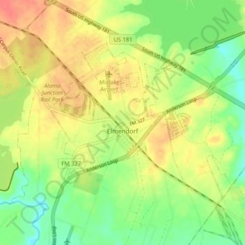
Name: Elmendorf topographic map, elevation, terrain.
Average elevation: 153 m
Minimum elevation: 126 m
Maximum elevation: 181 m
Other topographic maps
Click on a map to view its topography, its elevation and its terrain.
San Antonio
Vereinigte Staaten von Amerika > Texas > Bexar County
San Antonio, Bexar County, Texas, Vereinigte Staaten von Amerika
Average elevation: 247 m