
Thank you for supporting this site ❤️
Make a donation
Make a donation
Randolph topographic map
Click on the map to display elevation.
Thank you for supporting this site ❤️
Make a donation
Make a donation
About this map
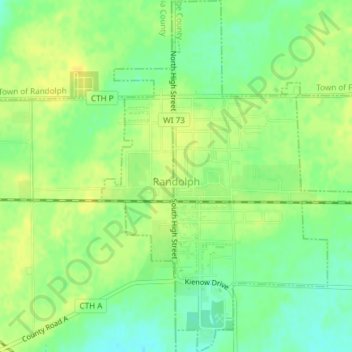
Name: Randolph topographic map, elevation, terrain.
Location: Randolph, Dodge County, Wisconsin, 53956, United States (43.52598 -89.01470 43.55303 -88.98609)
Average elevation: 293 m
Minimum elevation: 280 m
Maximum elevation: 302 m
Thank you for supporting this site ❤️
Make a donation
Make a donation
Other topographic maps
Click on a map to view its topography, its elevation and its terrain.