
Hammel topographic map
Interactive map
Click on the map to display elevation.
About this map
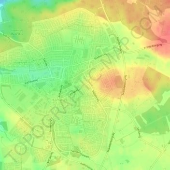
Name: Hammel topographic map, elevation, terrain.
Location: Hammel, Favrskov Kommune, Jutland central, 8450, Danemark (56.24264 9.84436 56.26724 9.87911)
Average elevation: 77 m
Minimum elevation: 45 m
Maximum elevation: 104 m