
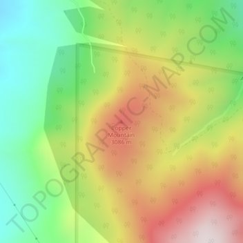
Copper Mountain topographic map
Interactive map
Click on the map to display elevation.
About this map
Name: Copper Mountain topographic map, elevation, terrain.
Average elevation: 2,840 m
Minimum elevation: 2,496 m
Maximum elevation: 3,247 m
Other topographic maps
Click on a map to view its topography, its elevation and its terrain.
Fraser
Vereinigte Staaten von Amerika > Colorado > Grand County
Fraser, Grand County, Colorado, 80442, Vereinigte Staaten von Amerika
Average elevation: 2,696 m