
Thank you for supporting this site ❤️
Make a donation
Make a donation
Marble City topographic map
Click on the map to display elevation.
Thank you for supporting this site ❤️
Make a donation
Make a donation
About this map
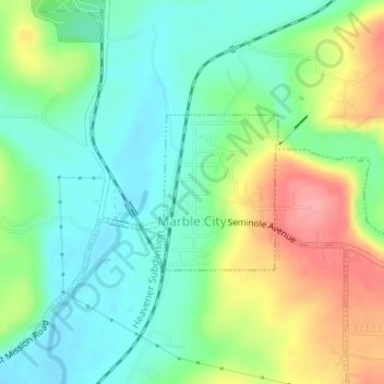
Name: Marble City topographic map, elevation, terrain.
Location: Marble City, Sequoyah County, Oklahoma, United States (35.57689 -94.82350 35.58783 -94.81361)
Average elevation: 213 m
Minimum elevation: 177 m
Maximum elevation: 279 m
Thank you for supporting this site ❤️
Make a donation
Make a donation
Other topographic maps
Click on a map to view its topography, its elevation and its terrain.