
Myawaddy topographic map
Interactive map
Click on the map to display elevation.
About this map
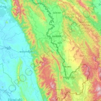
Name: Myawaddy topographic map, elevation, terrain.
Location: Myawaddy, မြဝတီခရိုင်, État Karen, 13052, Birmanie (16.03981 98.16302 17.09013 98.93180)
Average elevation: 448 m
Minimum elevation: 3 m
Maximum elevation: 2,079 m
Other topographic maps
Click on a map to view its topography, its elevation and its terrain.