
Perao topographic map
Interactive map
Click on the map to display elevation.
About this map
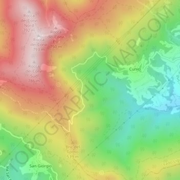
Name: Perao topographic map, elevation, terrain.
Location: Perao, Vado Ligure, Savona, Liguria, Italia (44.24138 8.35480 44.26138 8.37480)
Average elevation: 430 m
Minimum elevation: 100 m
Maximum elevation: 777 m