
Thalang topographic map
Interactive map
Click on the map to display elevation.
About this map
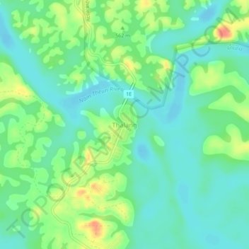
Name: Thalang topographic map, elevation, terrain.
Location: Thalang, ມືອງນາກາຍ, Khammouan, Laos (17.82155 105.03195 17.86155 105.07195)
Average elevation: 537 m
Minimum elevation: 520 m
Maximum elevation: 570 m