
Guacara topographic map
Interactive map
Click on the map to display elevation.
About this map
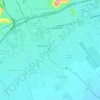
Name: Guacara topographic map, elevation, terrain.
Location: Guacara, Distrito Carlos Arvelo, Carabobo, 2015, Venezuela (10.18923 -67.89389 10.24075 -67.84884)
Average elevation: 438 m
Minimum elevation: 416 m
Maximum elevation: 605 m
Other topographic maps
Click on a map to view its topography, its elevation and its terrain.