
Hastings topographic map
Interactive map
Click on the map to display elevation.
About this map
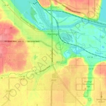
Name: Hastings topographic map, elevation, terrain.
Location: Hastings, Dakota County, Minnesota, 55033, United States (44.70231 -92.90032 44.76043 -92.81231)
Average elevation: 240 m
Minimum elevation: 200 m
Maximum elevation: 280 m