
Thank you for supporting this site ❤️
Make a donation
Make a donation
Shalkar topographic map
Click on the map to display elevation.
Thank you for supporting this site ❤️
Make a donation
Make a donation
About this map
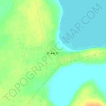
Name: Shalkar topographic map, elevation, terrain.
Location: Shalkar, Qorğaljın district, Akmola Region, Kazakhstan (50.38577 69.89694 50.42577 69.93694)
Average elevation: 324 m
Minimum elevation: 314 m
Maximum elevation: 340 m
Thank you for supporting this site ❤️
Make a donation
Make a donation