
Saxer Lücke topographic map
Interactive map
Click on the map to display elevation.
About this map
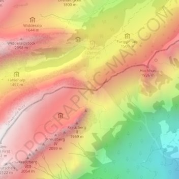
Name: Saxer Lücke topographic map, elevation, terrain.
Average elevation: 1,521 m
Minimum elevation: 663 m
Maximum elevation: 2,143 m
Other topographic maps
Click on a map to view its topography, its elevation and its terrain.
Hochhus
Schweiz > Sankt Gallen > Sennwald
Hochhus, Sennwald, Wahlkreis Werdenberg, Sankt Gallen, 9468, Schweiz
Average elevation: 1,368 m