
Nygården topographic map
Interactive map
Click on the map to display elevation.
About this map
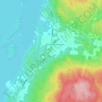
Name: Nygården topographic map, elevation, terrain.
Location: Nygården, Falun, Falu kommun, Dalarna County, 791 96, Sweden (60.53173 15.75645 60.57173 15.79645)
Average elevation: 149 m
Minimum elevation: 101 m
Maximum elevation: 279 m