Geolocate
👉 Easily get elevation data in JSON, GeoTIFF and KML formats using Elevation API
Thank you for supporting this site ❤️
Make a donation

Utopia topographic map

Click on the map to display elevation.

👉 Easily get elevation data in JSON, GeoTIFF and KML formats using Elevation API
Thank you for supporting this site ❤️
Make a donation

About this map

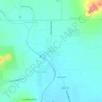
Name: Utopia topographic map, elevation, terrain.

Location: Utopia, Uvalde County, Texas, 78884, United States (29.59523 -99.54699 29.63523 -99.50699)

Average elevation: 423 m

Minimum elevation: 405 m

Maximum elevation: 514 m

Other topographic maps

Click on a map to view its topography, its elevation and its terrain.

Garner State Park

United States > Texas > Uvalde County > Concan

Average elevation: 456 m

Garner State Park

United States > Texas > Uvalde County > Concan

Average elevation: 456 m