
Thank you for supporting this site ❤️
Make a donation
Make a donation
Jhabrera topographic map
Click on the map to display elevation.
Thank you for supporting this site ❤️
Make a donation
Make a donation
About this map
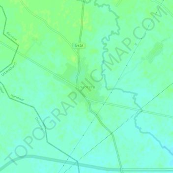
Name: Jhabrera topographic map, elevation, terrain.
Location: Jhabrera, Roorkee, Haridwar, Uttarakhand, 247665, India (29.78930 77.75565 29.82930 77.79565)
Average elevation: 265 m
Minimum elevation: 260 m
Maximum elevation: 270 m
Thank you for supporting this site ❤️
Make a donation
Make a donation
Other topographic maps
Click on a map to view its topography, its elevation and its terrain.