
Thank you for supporting this site ❤️
Make a donation
Make a donation
Tangta topographic map
Click on the map to display elevation.
Thank you for supporting this site ❤️
Make a donation
Make a donation
About this map
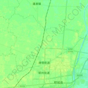
Name: Tangta topographic map, elevation, terrain.
Location: Tangta, Yuncheng County, Heze City, Shandong, China (35.58643 115.85299 35.66375 115.99222)
Average elevation: 46 m
Minimum elevation: 40 m
Maximum elevation: 51 m
Thank you for supporting this site ❤️
Make a donation
Make a donation