
Hunteburg topographic map
Interactive map
Click on the map to display elevation.
About this map
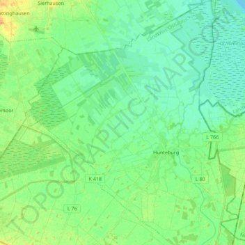
Name: Hunteburg topographic map, elevation, terrain.
Location: Hunteburg, Bohmte, Landkreis Osnabrück, Nedersaksen, Duitsland (52.39793 8.17762 52.50035 8.32384)
Average elevation: 43 m
Minimum elevation: 34 m
Maximum elevation: 92 m