
Rauen topographic map
Interactive map
Click on the map to display elevation.
About this map
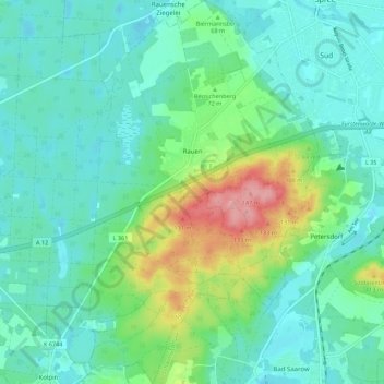
Name: Rauen topographic map, elevation, terrain.
Location: Rauen, Spreenhagen, Oder-Spree, Brandemburgo, Alemanha (52.28954 13.99654 52.35688 14.06339)
Average elevation: 62 m
Minimum elevation: 35 m
Maximum elevation: 148 m