
Thank you for supporting this site ❤️
Make a donation
Make a donation
Chaurjahari topographic map
Click on the map to display elevation.
Thank you for supporting this site ❤️
Make a donation
Make a donation
About this map
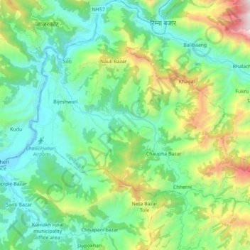
Name: Chaurjahari topographic map, elevation, terrain.
Location: Chaurjahari, Western Rukum District, Karnali Pradesh, Nepal (28.58060 82.18334 28.69283 82.35606)
Average elevation: 1,141 m
Minimum elevation: 664 m
Maximum elevation: 2,513 m
Thank you for supporting this site ❤️
Make a donation
Make a donation