
Thank you for supporting this site ❤️
Make a donation
Make a donation
Stanton County topographic map
Click on the map to display elevation.
Thank you for supporting this site ❤️
Make a donation
Make a donation
About this map
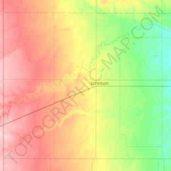
Name: Stanton County topographic map, elevation, terrain.
Location: Stanton County, Kansas, United States (37.38826 -102.04199 37.73855 -101.52576)
Average elevation: 1,031 m
Minimum elevation: 953 m
Maximum elevation: 1,136 m
Thank you for supporting this site ❤️
Make a donation
Make a donation