
Thank you for supporting this site ❤️
Make a donation
Make a donation
Sarud topographic map
Click on the map to display elevation.
Thank you for supporting this site ❤️
Make a donation
Make a donation
About this map
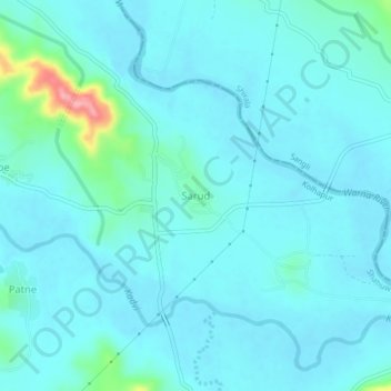
Name: Sarud topographic map, elevation, terrain.
Location: Sarud, Shahuwadi, Kolhapur, Maharashtra, 416213, India (16.89093 74.02513 16.93093 74.06513)
Average elevation: 565 m
Minimum elevation: 549 m
Maximum elevation: 676 m
Thank you for supporting this site ❤️
Make a donation
Make a donation