
Thank you for supporting this site ❤️
Make a donation
Make a donation
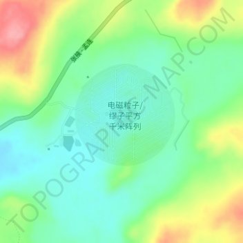
Large High Altitude Air Shower Observatory topographic map
Click on the map to display elevation.
Thank you for supporting this site ❤️
Make a donation
Make a donation
Large High Altitude Air Shower Observatory
The Large High Altitude Air Shower Observatory (LHAASO) is a gamma-ray and cosmic-ray observatory in Daocheng, in the Garzê Tibetan Autonomous Prefecture in Sichuan, China. It is designed to observe air showers triggered by gamma rays and cosmic rays. The observatory is at an altitude of 4,410 metres (14,470 ft) above sea level. Observations started in April 2019.
Thank you for supporting this site ❤️
Make a donation
Make a donation
About this map
Name: Large High Altitude Air Shower Observatory topographic map, elevation, terrain.
Average elevation: 4,421 m
Minimum elevation: 4,384 m
Maximum elevation: 4,489 m
Thank you for supporting this site ❤️
Make a donation
Make a donation