
Chandipur topographic map
Interactive map
Click on the map to display elevation.
About this map
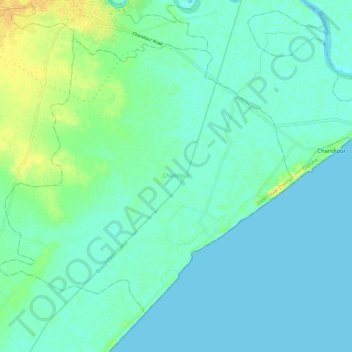
Name: Chandipur topographic map, elevation, terrain.
Location: Chandipur, Baleshwar District, Odisha, India (21.39147 86.91655 21.47577 87.03174)
Average elevation: 6 m
Minimum elevation: -2 m
Maximum elevation: 24 m