
Mahawu topographic map
Interactive map
Click on the map to display elevation.
About this map
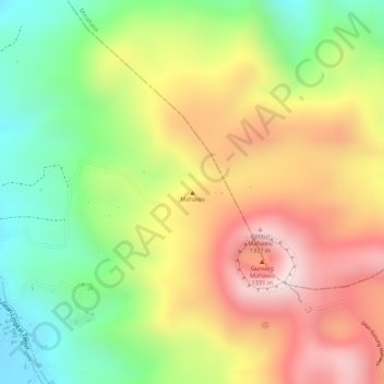
Name: Mahawu topographic map, elevation, terrain.
Location: Mahawu, Tomohon, Sulawesi du Nord, 95362, Indonésie (1.35795 124.85795 1.35805 124.85805)
Average elevation: 1,070 m
Minimum elevation: 830 m
Maximum elevation: 1,303 m