
Brahmapur topographic map
Click on the map to display elevation.
About this map
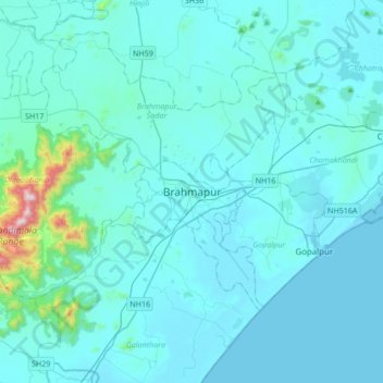
Name: Brahmapur topographic map, elevation, terrain.
Location: Brahmapur, Rangeilunda, Ganjam, Odisha, 760001, India (19.14981 84.63716 19.46981 84.95716)
Average elevation: 56 m
Minimum elevation: 0 m
Maximum elevation: 861 m