
Willingen topographic map
Interactive map
Click on the map to display elevation.
About this map
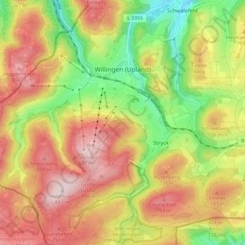
Name: Willingen topographic map, elevation, terrain.
Average elevation: 692 m
Minimum elevation: 503 m
Maximum elevation: 844 m
Other topographic maps
Click on a map to view its topography, its elevation and its terrain.
Ettelsberg
Duitsland > Hessen > Willingen (Upland)
Ettelsberg, Willingen (Upland), Landkreis Waldeck-Frankenberg, Regierungsbezirk Kassel, Hessen, Duitsland
Average elevation: 717 m