Manabari topographic map
Interactive map
Click on the map to display elevation.
About this map
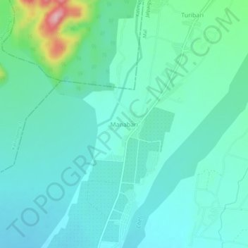
Name: Manabari topographic map, elevation, terrain.
Location: Manabari, Mal, Jalpaiguri District, West Bengal, 735222, India (26.88095 88.61397 26.92095 88.65397)
Average elevation: 196 m
Minimum elevation: 164 m
Maximum elevation: 333 m
Other topographic maps
Click on a map to view its topography, its elevation and its terrain.
Damdim
India > West Bengal > Mal
Damdim, Mal, Jalpaiguri District, West Bengal, 735209, India
Average elevation: 161 m
Manabari Tea Garden
India > West Bengal > Mal
Manabari Tea Garden, Mal, Jalpaiguri District, West Bengal, 735222, India
Average elevation: 167 m