
Thank you for supporting this site ❤️
Make a donation
Make a donation
Rock Island topographic map
Click on the map to display elevation.
Thank you for supporting this site ❤️
Make a donation
Make a donation
About this map
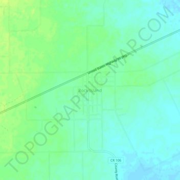
Name: Rock Island topographic map, elevation, terrain.
Location: Rock Island, Colorado County, Texas, 77470, United States (29.51032 -96.59488 29.55032 -96.55488)
Average elevation: 77 m
Minimum elevation: 70 m
Maximum elevation: 85 m
Thank you for supporting this site ❤️
Make a donation
Make a donation