
Wayi topographic map
Interactive map
Click on the map to display elevation.
About this map
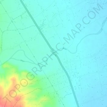
Name: Wayi topographic map, elevation, terrain.
Location: Wayi, Karonga, Northern Region, Malawi (-10.08070 33.97764 -10.07925 33.97946)
Average elevation: 499 m
Minimum elevation: 483 m
Maximum elevation: 558 m