
D 32 topographic map
Interactive map
Click on the map to display elevation.
About this map
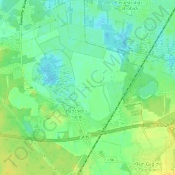
Name: D 32 topographic map, elevation, terrain.
Location: D 32, Kolkwitz, Spree-Neiße, Brandebourg, 03099, Allemagne (51.73067 14.27644 51.73077 14.27654)
Average elevation: 71 m
Minimum elevation: 60 m
Maximum elevation: 83 m
Other topographic maps
Click on a map to view its topography, its elevation and its terrain.
D 22
Allemagne > Brandebourg > Kolkwitz
D 22, Kolkwitz, Spree-Neiße, Brandebourg, 03099, Allemagne
Average elevation: 67 m
D 19
Allemagne > Brandebourg > Kolkwitz
D 19, Kolkwitz, Spree-Neiße, Brandebourg, 03099, Allemagne
Average elevation: 66 m
D 25
Allemagne > Brandebourg > Kolkwitz
D 25, Kolkwitz, Spree-Neiße, Brandebourg, 03099, Allemagne
Average elevation: 68 m