
Gondpipri topographic map
Interactive map
Click on the map to display elevation.
About this map
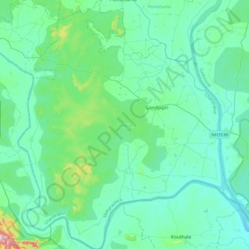
Name: Gondpipri topographic map, elevation, terrain.
Location: Gondpipri, Chandrapur, Maharashtra, 442702, India (19.50771 79.46956 19.87547 79.81283)
Average elevation: 182 m
Minimum elevation: 135 m
Maximum elevation: 478 m
Other topographic maps
Click on a map to view its topography, its elevation and its terrain.
Chintal Dhaba
India > Maharashtra > Gondpipri
Chintal Dhaba, Gondpipri, Chandrapur, Maharashtra, India
Average elevation: 185 m