
Thank you for supporting this site ❤️
Make a donation
Make a donation
Vreeland topographic map
Click on the map to display elevation.
Thank you for supporting this site ❤️
Make a donation
Make a donation
About this map
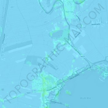
Name: Vreeland topographic map, elevation, terrain.
Location: Vreeland, Stichtse Vecht, Utrecht, Netherlands (52.22257 5.01982 52.25673 5.05773)
Average elevation: -1 m
Minimum elevation: -6 m
Maximum elevation: 4 m
Thank you for supporting this site ❤️
Make a donation
Make a donation