
Thank you for supporting this site ❤️
Make a donation
Make a donation
Gibralter topographic map
Click on the map to display elevation.
Thank you for supporting this site ❤️
Make a donation
Make a donation
About this map
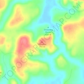
Name: Gibralter topographic map, elevation, terrain.
Location: Gibralter, Crittenden County, Kentucky, United States (37.34222 -87.93090 37.34232 -87.93080)
Average elevation: 136 m
Minimum elevation: 106 m
Maximum elevation: 178 m
Thank you for supporting this site ❤️
Make a donation
Make a donation