
Poland topographic map
Interactive map
Click on the map to display elevation.
About this map
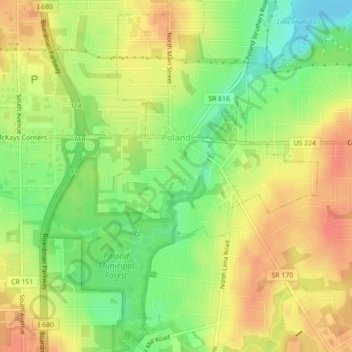
Name: Poland topographic map, elevation, terrain.
Location: Poland, Mahoning County, Ohio, 44514, United States (41.00387 -80.63106 41.03718 -80.59699)
Average elevation: 323 m
Minimum elevation: 294 m
Maximum elevation: 346 m