
Moose Mountain topographic map
Interactive map
Click on the map to display elevation.
About this map
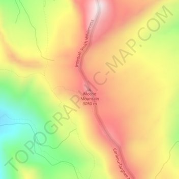
Name: Moose Mountain topographic map, elevation, terrain.
Location: Moose Mountain, Teton County, Wyoming, United States (43.93738 -110.85638 43.93748 -110.85628)
Average elevation: 2,821 m
Minimum elevation: 2,417 m
Maximum elevation: 3,152 m