
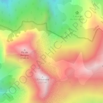
Rocher Noir avec Croix Bleue topographic map
Interactive map
Click on the map to display elevation.
About this map
Name: Rocher Noir avec Croix Bleue topographic map, elevation, terrain.
Average elevation: 1,685 m
Minimum elevation: 1,076 m
Maximum elevation: 2,198 m