
Thank you for supporting this site ❤️
Make a donation
Make a donation
Loveland topographic map
Click on the map to display elevation.
Thank you for supporting this site ❤️
Make a donation
Make a donation
About this map
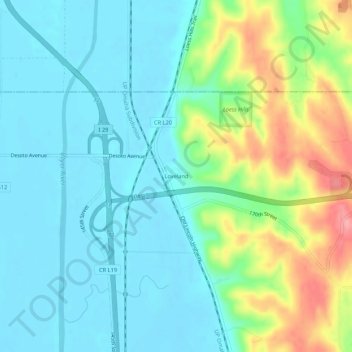
Name: Loveland topographic map, elevation, terrain.
Location: Loveland, Pottawattamie County, Iowa, United States (41.47699 -95.91082 41.51699 -95.87082)
Average elevation: 330 m
Minimum elevation: 300 m
Maximum elevation: 413 m
Thank you for supporting this site ❤️
Make a donation
Make a donation
Other topographic maps
Click on a map to view its topography, its elevation and its terrain.