
Thank you for supporting this site ❤️
Make a donation
Make a donation
Smyrna topographic map
Click on the map to display elevation.
Thank you for supporting this site ❤️
Make a donation
Make a donation
About this map
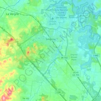
Name: Smyrna topographic map, elevation, terrain.
Location: Smyrna, Rutherford County, Tennessee, 37167, United States (35.90574 -86.62498 36.02878 -86.46090)
Average elevation: 176 m
Minimum elevation: 146 m
Maximum elevation: 294 m
Thank you for supporting this site ❤️
Make a donation
Make a donation