
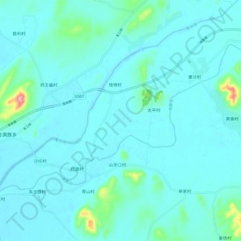
岚崮河 topographic map
Interactive map
Click on the map to display elevation.
About this map
Name: 岚崮河 topographic map, elevation, terrain.
Location: 岚崮河, 瓦房店市, 大连市, 辽宁省, 中国 (39.61841 121.60049 39.67010 121.70663)
Average elevation: 18 m
Minimum elevation: -1 m
Maximum elevation: 173 m
Other topographic maps
Click on a map to view its topography, its elevation and its terrain.