
Kampung Sungai Ular topographic map
Interactive map
Click on the map to display elevation.
About this map
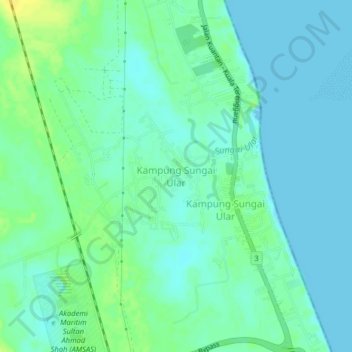
Name: Kampung Sungai Ular topographic map, elevation, terrain.
Location: Kampung Sungai Ular, Kuantan, Pahang, Malaysia (4.02430 103.36691 4.06430 103.40691)
Average elevation: 7 m
Minimum elevation: -1 m
Maximum elevation: 20 m