
Banjar topographic map
Interactive map
Click on the map to display elevation.
About this map
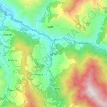
Name: Banjar topographic map, elevation, terrain.
Location: Banjar, Kullu, Himachal Pradesh, 175123, India (31.59719 77.30510 31.67719 77.38510)
Average elevation: 1,970 m
Minimum elevation: 1,163 m
Maximum elevation: 3,394 m