
Zonhoven topographic map
Interactive map
Click on the map to display elevation.
About this map
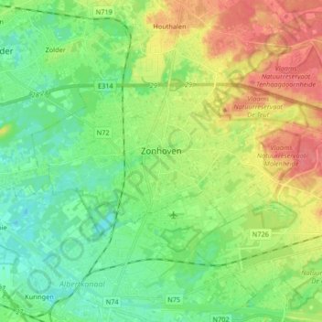
Name: Zonhoven topographic map, elevation, terrain.
Location: Zonhoven, Hasselt, Limburg, Flandern, 3520, Belgien (50.96296 5.30104 51.01195 5.46479)
Average elevation: 46 m
Minimum elevation: 22 m
Maximum elevation: 83 m