
Narsapur topographic map
Interactive map
Click on the map to display elevation.
About this map
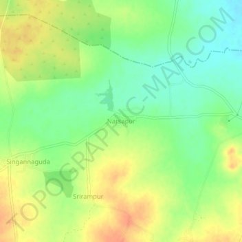
Name: Narsapur topographic map, elevation, terrain.
Location: Narsapur, Mulug mandal, Siddipet, Telangana, 501401, India (17.70851 78.54411 17.74851 78.58411)
Average elevation: 584 m
Minimum elevation: 564 m
Maximum elevation: 604 m
Other topographic maps
Click on a map to view its topography, its elevation and its terrain.