
Altenoythe topographic map
Interactive map
Click on the map to display elevation.
Altenoythe
Ahrensdorf | Altenoythe | Augustendorf | Edewechterdamm | Ellerbrock | Friesoythe | Gehlenberg | Heinfelde | Kampe | Kamperfehn | Markhausen | Mehrenkamp | Neuscharrel | Neuvrees | Pehmertange | Schlingshöhe | Schwaneburg | Schwaneburgermoor | Thüle
About this map
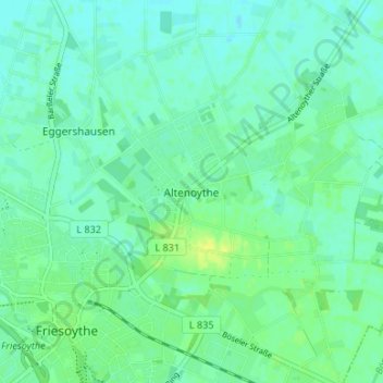
Name: Altenoythe topographic map, elevation, terrain.
Average elevation: 9 m
Minimum elevation: 3 m
Maximum elevation: 20 m