
Gadanki topographic map
Interactive map
Click on the map to display elevation.
About this map
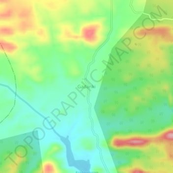
Name: Gadanki topographic map, elevation, terrain.
Location: Gadanki, Karvetinagar, Chittoor, Andhra Pradesh, India (13.37858 79.33157 13.41858 79.37157)
Average elevation: 271 m
Minimum elevation: 204 m
Maximum elevation: 385 m