
Chithode topographic map
Click on the map to display elevation.
About this map
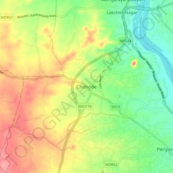
Name: Chithode topographic map, elevation, terrain.
Location: Chithode, Erode, Erode District, Tamil Nadu, 638102, India (11.35548 77.61808 11.43548 77.69808)
Average elevation: 197 m
Minimum elevation: 151 m
Maximum elevation: 252 m