
Tungasuca topographic map
Interactive map
Click on the map to display elevation.
About this map
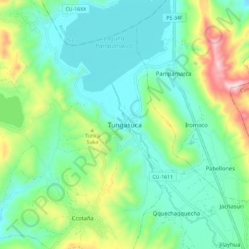
Name: Tungasuca topographic map, elevation, terrain.
Location: Tungasuca, Canas, Cuzco, Perú (-14.20387 -71.51605 -14.12387 -71.43605)
Average elevation: 3,911 m
Minimum elevation: 3,758 m
Maximum elevation: 4,338 m