
Angara topographic map
Interactive map
Click on the map to display elevation.
About this map
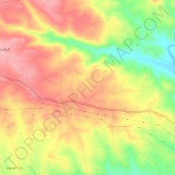
Name: Angara topographic map, elevation, terrain.
Location: Angara, Ranchi, Jharkhand, 835104, India (23.38276 85.48978 23.42276 85.52978)
Average elevation: 596 m
Minimum elevation: 517 m
Maximum elevation: 626 m