
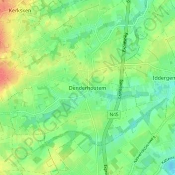
Denderhoutem topographic map
Interactive map
Click on the map to display elevation.
About this map
Name: Denderhoutem topographic map, elevation, terrain.
Location: Denderhoutem, Aalst, Oost-Vlaanderen, Vlaanderen, 9450, België (50.85178 3.99808 50.89178 4.03808)
Average elevation: 31 m
Minimum elevation: 11 m
Maximum elevation: 61 m