
Kudari topographic map
Interactive map
Click on the map to display elevation.
About this map
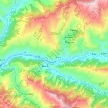
Name: Kudari topographic map, elevation, terrain.
Location: Kudari, Jumla, Karnali, Mid-Western Development Region, Nepal (29.18440 81.96489 29.27849 82.03610)
Average elevation: 2,704 m
Minimum elevation: 2,146 m
Maximum elevation: 3,536 m